Jan Bono’s Blog
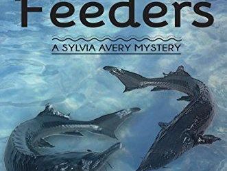
Bottom Feeders
Bottom Feeders Drug runners are on the North Beach Peninsula, raising havoc from the tiny unsecured port of Unity on the southern end to the Spartina Point Casino and Resort up north.
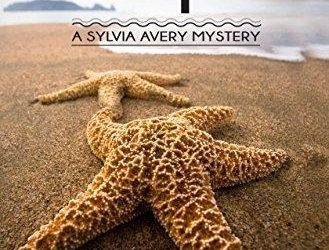
Starfish
Starfish A made-for-TV movie crew hasn’t shot the first scenes before two distinctly different murders occur, and the sheriff thinks there’s cause to believe they actually might be related.
Crab Bait
Crab Bait The members of a geriatric troupe of belly dancers, The Veiled Rainbow, are all under suspicion of murdering their husbands to collect the life insurance money.
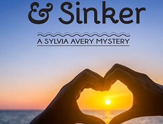
Hook, Line, & Sinker
Hook, Line, & Sinker Some of those same belly dancers are trying out online dating, and the sheriff does his best to keep them safe, despite their efforts to disregard his suggestions.
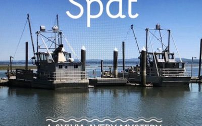
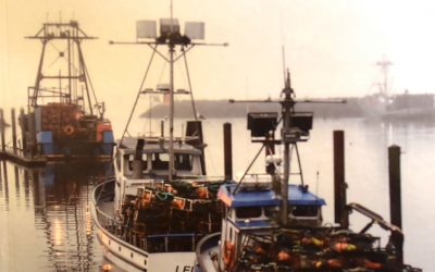
Oyster Spat
Oyster Spat A decades old murder and a very recent one take place among the oystermen, and women, in the tiny town of Willoopah along the northern tide flats of Shallowwater Bay.
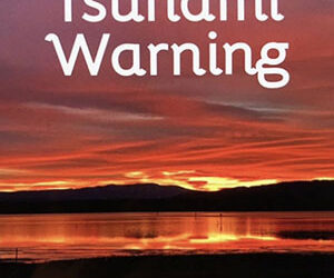
Tsunami Warning
Tsunami Warning A kidnapping sets the stage to bring the events of the previous 15 months full circle before it’s resolved and the series is concluded.